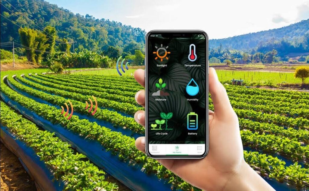
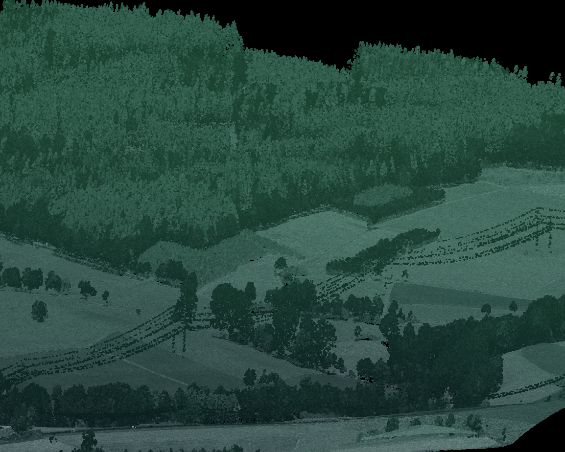
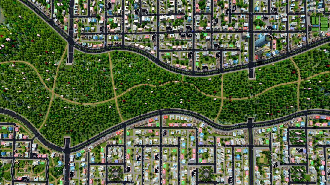
Geospatial Data & Mapping
High-precision drone and satellite-based mapping solutions tailored to forestry, agriculture, infrastructure, and land-use planning.
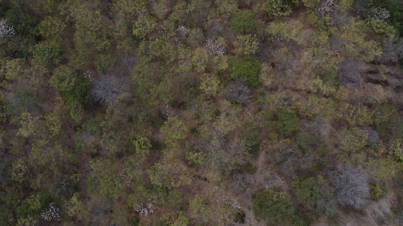
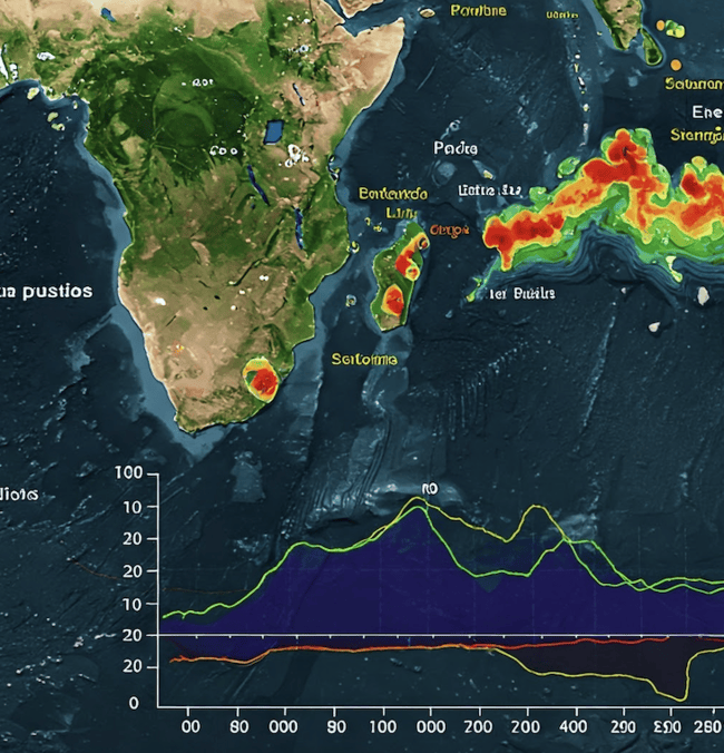
Environmental Monitoring & Assessment
Advanced analytics to assess vegetation health, land cover changes, carbon stocks, and ecological integrity.
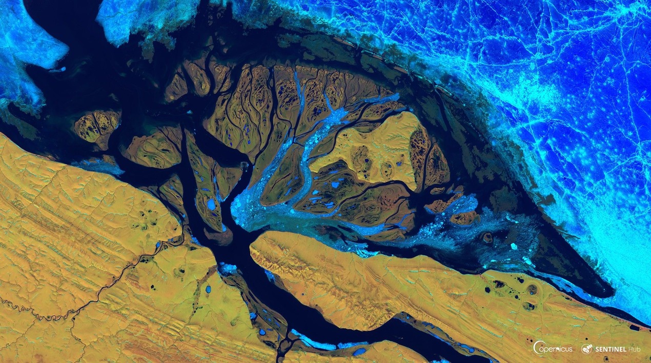
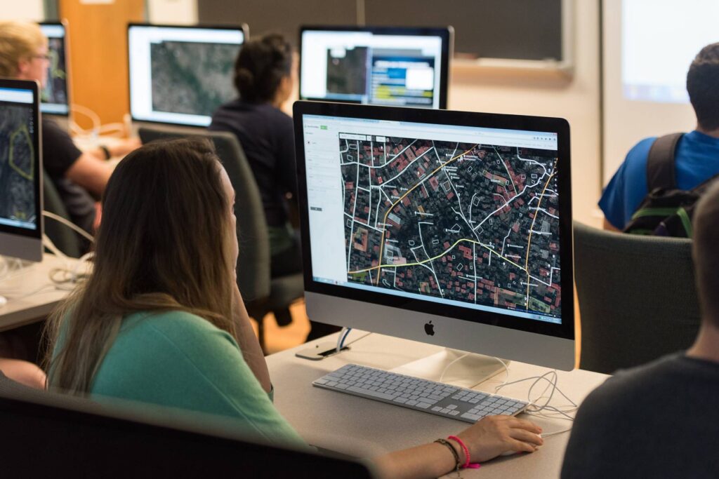
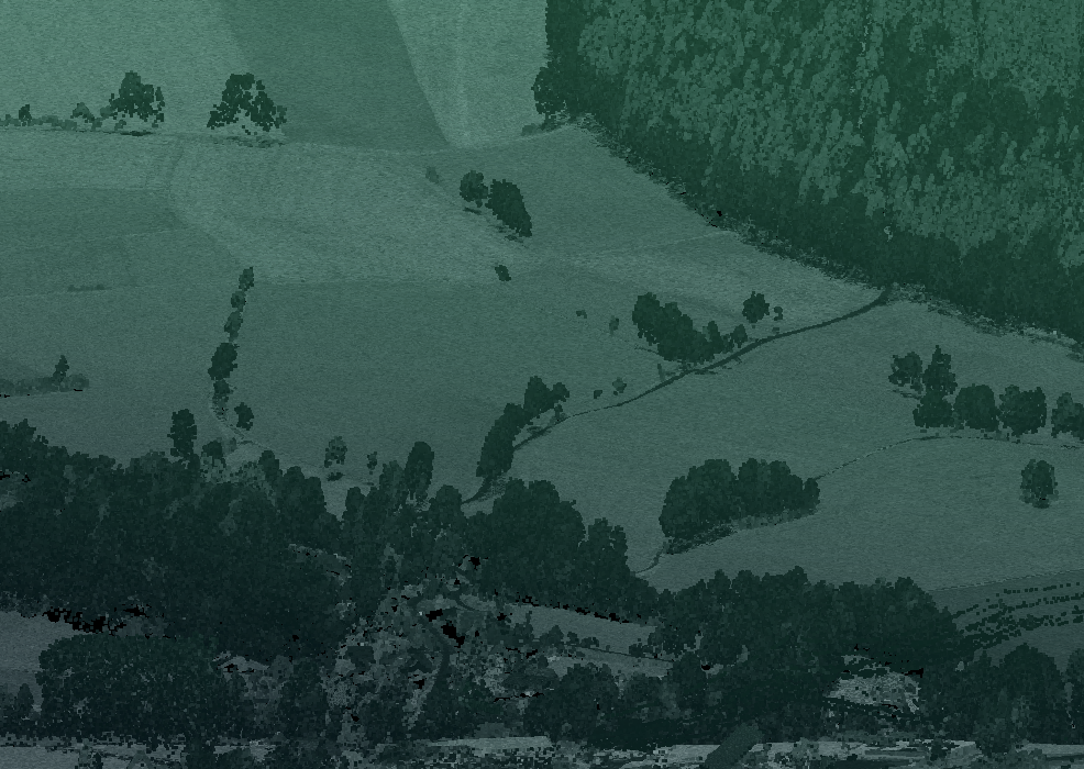
Remote Sensing & GIS Solutions
Leveraging AI-driven remote sensing, LiDAR, and GIS modeling for in-depth spatial analysis.